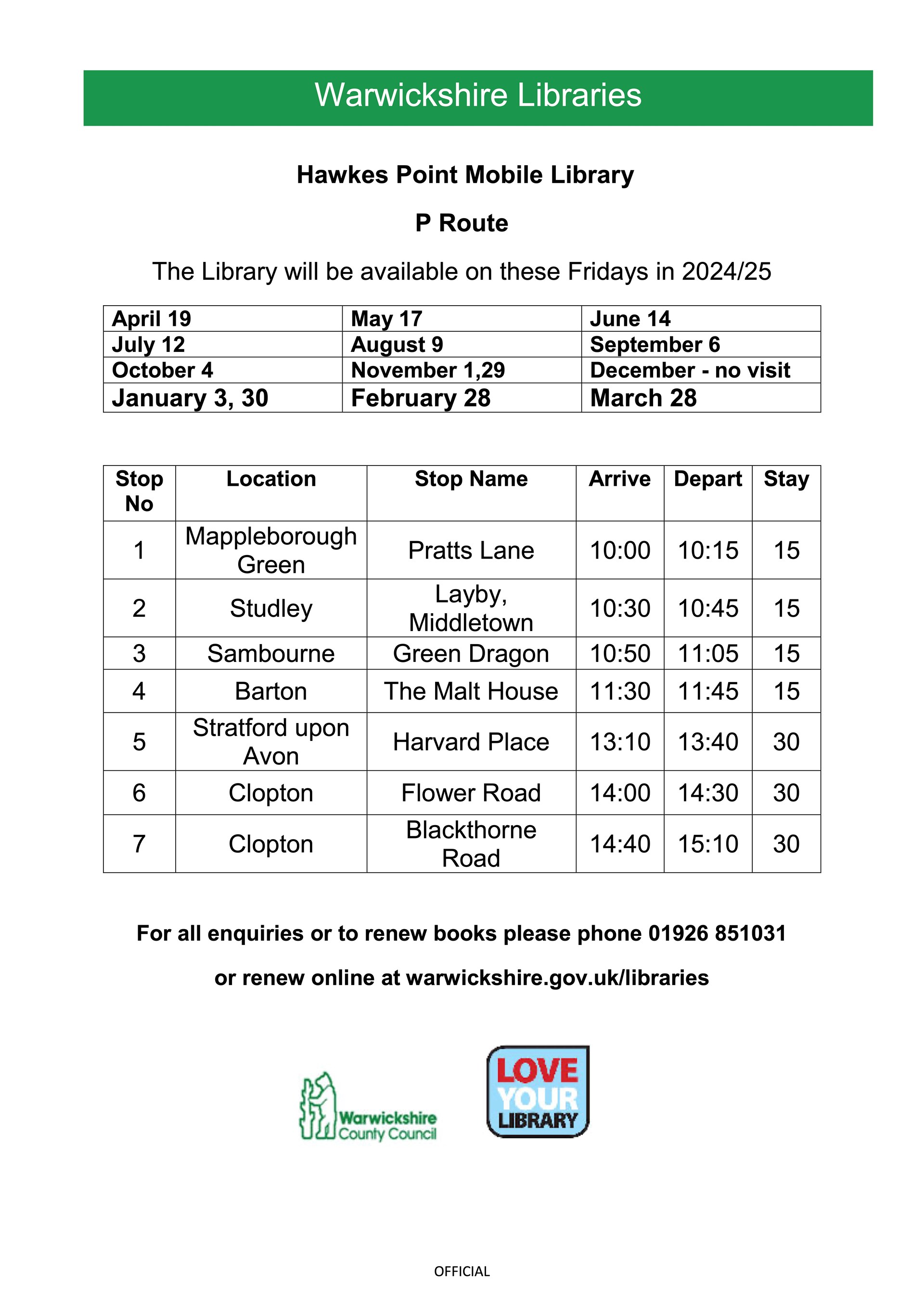
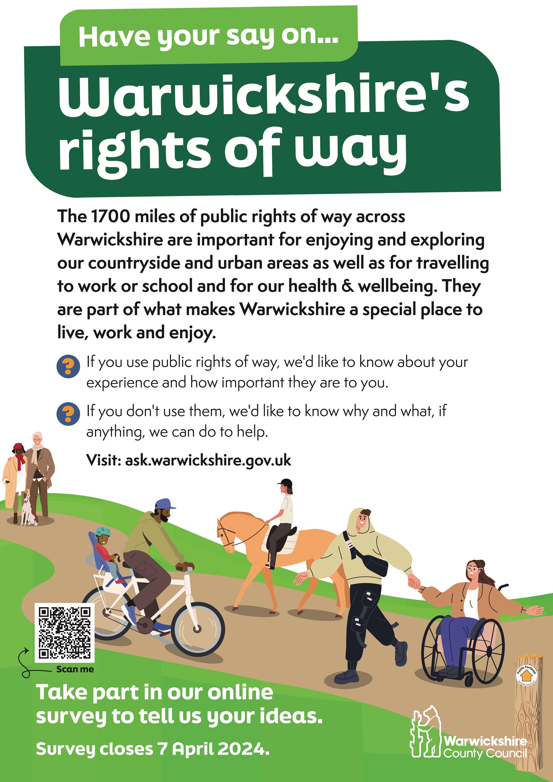
Warwickshire C C

Following various communications with WCC they have come up with a plan in the hope it will resolve the flooding issue on Middletown Lane, B80 7PW. This will require a road closure so it is likely to be a number of months before this is completed. Please open the PDF file below to view the details.

For Warwickshire County Council road closure map click on This Link
Warwickshire Road Safety Partnership asks public to use What3Words app when calling emergency services
Click on this link to find out how to download and use the App.
Click on this link to see the location of the Village Green.
Warwickshire Road Safety Partnership is launching an online campaign to raise awareness of ‘What3Words’ in a bid to get more residents in Warwickshire using the app to provide emergency services with the location of a collision or emergency.
What3words has divided the world into 3 metre squares and given each square a unique combination of three words - what3words address. For example, ///silver.label.smile will take you to a precise 3 metre square for Warwick Castle.
If a collision or emergency occurs, callers can give the call handler the three words and this will help dispatch emergency services to the precise location. This is even more important in rural locations where it’s even more difficult to communicate location accurately. The app gives the caller a simple way to describe precisely where help is needed, enabling responders to find and get resources to the scene as quickly as possible. It is hoped that this simple change, could help save more lives and reduce the seriousness of some injuries due to patients getting treatment more quickly.
The partnership is raising awareness of the app through a week-long campaign starting on 1 November. Each day local landmarks and beauty spots along with their what3words address will be posted on the partnership social media on @WarwickshireRoadSafety (Facebook) and @WarksRoadSafety (Twitter) using the hashtag #what3words. Residents are asked to comment if they know the local landmark or look the words up on the app to find the location.
The system works offline, making it ideal for use in areas with an unreliable data connection. what3words addresses cover the entire world and can be used in over 40 languages.
Cllr Wallace Redford, Warwickshire County Council Portfolio Holder for Transport and Planning, said: “We sincerely hope that this online campaign will help to raise awareness and encourage residents to download the What3Words app and encourage their friends and family to do the same.
"When responding to incidents, the emergency services can sometimes spend critical time and resources working to locate people in need of help. Whilst this does not generally stop help arriving, for some patients, What3Words could be the difference between life and death."
Chair of Warwickshire Road Safety Partnership and Police and Crime Commissioner, Philip Seccombe said:
“We are asking the public to use What3Words to provide the location of a collision when calling the emergency services. By enabling the precise location to be pinpointed when emergency services are dispatched, it can save vital time and we hope will save more lives and reduce the seriousness of some injuries, ultimately giving those involved in collisions a better future.
“This is just one of many initiatives being developed by Warwickshire Road Safety Partnership to help achieve our target of a 50% reduction in those killed or seriously injured on our roads by 2030.”
The Post Collision Working Group works alongside four other working groups - Safe Vehicles, Safe Roads, Safe Road Users and Safe Speeds to focus on the Safe System approach to road safety. The working groups were set up by Warwickshire Road Safety Partnership when the partnership adopted their Strategy to 2030 in February 2022.
The role of the Post Collision Working Group is to review and implement systems to improve emergency response time such as What3Words, better emergency care, improved first aid skills for the public, improved hospital care and the Independent Brake Advocate who provides local specialised one-to-one support for families involved in road traffic collisions.
To read more about our strategy and safe systems approach please visit our website. https://warksroadsafety.org/our-strategy/
Please help us reach as many people as possible by sharing messages about What3Words from our social media accounts on Twitter @WarksRoadSafety and Facebook @WarwickshireRoadSafety
To report an emergency, always call 999. If a collision has occurred which does not require an immediate response, it can be reported online. Please visit: Report a road traffic incident | Warwickshire Police